
About Workshop
Aim
To equip participants with the skills to apply Vision Transformers (ViTs) to remote-sensing image analysis, focusing on tasks like land cover classification, object detection, climate pattern recognition, and disaster mapping using advanced deep learning methods.
What Participants Will Learn
-
Introduce Vision Transformers and their application in satellite image analysis
-
Enable hands-on experimentation with publicly available geospatial datasets
-
Teach model customization and fine-tuning techniques
-
Promote responsible AI usage in environmental and humanitarian applications
-
Foster interdisciplinary innovation at the intersection of AI and Earth science
Structure
- Review of CNN architectures in remote sensing (ResNet, UNet, etc.)
- Introduction to Vision Transformers (ViT): How they work
- Why ViTs are suited for remote-sensing imagery (large context, less inductive bias)
- Comparison: ViT vs CNN in scene classification
- Colab demo using pretrained ViT and CNN for a sample land scene classification task using EuroSAT or BigEarthNet dataset
- Problem of land-cover change detection (LCCD) and its applications (urbanization, deforestation)
- Architectures adapted for temporal change detection (Siamese ViTs, TimeSFormer)
- Pipeline: Preprocessing → Patch Embedding → Transformer Blocks → Classification head
- Visual result comparison (before/after images and heatmaps)
- Challenges of training ViTs with small labeled data
- Strategies: Transfer learning, self-supervised learning (DINO, MAE), adapter layers
- Case studies in remote sensing: Agriculture crop mapping, disaster response
- Colab demo: Fine-tuning a ViT model on a small custom dataset
Important Dates
Registration Ends
Workshop Dates
What You Will Gain
Outcomes
-
Understand the fundamentals of Vision Transformers and how they compare to CNNs
-
Process and analyze high-resolution satellite imagery using deep learning
-
Train and fine-tune ViTs for various geospatial applications
-
Build a portfolio project on remote sensing with ViT-based models
-
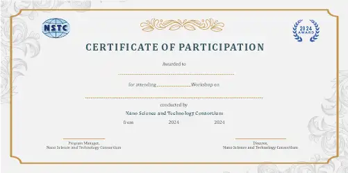
Receive a certificate demonstrating proficiency in AI + remote sensing
Who Should Attend
-
Geospatial and remote-sensing professionals
-
AI/ML engineers and computer vision researchers
-
Earth scientists, environmental engineers, and urban planners
-
Students and researchers in space science, climate, or deep learning
-
Government/NGO professionals working with Earth observation data