
About Workshop
Aim
To train participants in leveraging Artificial Intelligence (AI), Machine Learning (ML), and automation technologies for real-time detection, prediction, and mitigation of environmental hazards, from floods and wildfires to chemical leaks and air pollution.
What Participants Will Learn
-
Introduce advanced AI and automation tools for environmental applications
-
Bridge gaps between climate data, sensors, and AI models
-
Promote interdisciplinary collaboration between tech and environmental fields
-
Enable participants to contribute to climate adaptation and disaster preparedness
-
Provide open-access tools and datasets for continued innovation
Structure
🔹 Day 1: Fundamentals of Remote Sensing and AI Integration
✅ Module 1: Introduction to Remote Sensing- Overview of satellite, UAV, and ground-based data acquisition
- Key environmental applications: deforestation, biodiversity, water quality, air pollution
- Basics of supervised and unsupervised learning
- Data formats: raster, vector, hyperspectral, multispectral
- Accessing and visualizing remote sensing datasets using Python (rasterio, geopandas)
- Preprocessing and cleaning satellite imagery (cloud masking, radiometric corrections)
- Setting up Jupyter Notebook for analysis
🔹 Day 2: Machine Learning Applications in Remote Sensing
✅ AI Models for Environmental Data- Classification algorithms: Decision Trees, Random Forests, SVM
- Image segmentation and object detection basics
- Extracting features: NDVI, land cover classes, change detection
- Model evaluation metrics: accuracy, confusion matrix, IoU
- Training classification models to detect land use and cover change
- Implementing Random Forest for deforestation detection using scikit-learn
- Visualizing results on interactive maps with Folium or Plotly
🔹 Day 3: Advanced Techniques and Real-World Applications
✅ Deep Learning in Remote Sensing- CNNs for object detection in satellite imagery
- Transfer learning with pre-trained models (ResNet, UNet)
- Challenges in multi-source, multi-temporal data integration
- Deploying AI models for conservation monitoring
- Ethical considerations: bias, data governance, privacy
- Linking AI insights to policy and environmental management
- Applying a CNN to classify deforestation in satellite images
- Visualizing predictions and creating an interactive dashboard with Streamlit
Discussion on deployment strategies (APIs, web apps)
Important Dates
Registration Ends
Workshop Dates
What You Will Gain
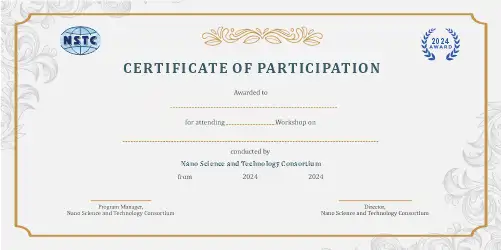
Outcomes
-
Understand the role of AI in real-time environmental monitoring
-
Apply ML models to real-world environmental datasets
-
Build simple automated alert systems using IoT and AI
-
Analyze satellite and sensor data for environmental insights
-
Contribute to sustainable development and early warning innovations
Who Should Attend
-
AI for Earth/Environmental Researcher
-
Disaster Risk Analyst using AI
-
Environmental IoT System Developer
-
Remote Sensing Data Scientist
-
Smart City and Resilience Tech Advisor