| Attribute | Detail |
|---|---|
| Format | Online (e-LMS) |
| Level | Advanced |
| Duration | 6 Months |
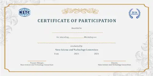
| Certification | e-Certification + e-Marksheet |
| Fee | ₹2499 / $59 |
| Tools | Python R TensorFlow PyTorch QGIS |
About the Advanced Remote Sensing of Carbon Fluxes Course
Advanced Remote Sensing of Carbon Fluxes: From Satellite Observations to Regional Budgets dives deep into Remote Sensing Of Carbon Fluxes From Satellite Observations To Regional Budgets.
Gain comprehensive expertise through our structured curriculum and hands-on approach.
Program Highlights
• Comprehensive coverage of Advanced Remote Sensing of Carbon Fluxes from fundamentals to advanced applications
• Hands-on projects and real-world case studies in Environmental Science, Data Science
• Expert-curated curriculum aligned with current industry standards
• Access to recorded lectures and e-LMS platform for flexible, self-paced learning
• e-Certification and e-Marksheet upon successful completion
• Dedicated mentor support and interactive doubt-clearing sessions
• Practical experience with tools: Python, R, TensorFlow, PyTorch
• Career-oriented training for academic and professional growth in Environmental Science, Data Science
Course Curriculum
Module 1: AI Fundamentals, Mathematics, and Remote Sensing Foundations
- Develop a comprehensive understanding of artificial intelligence and machine learning concepts in remote sensing applications
- Analyze mathematical models for estimating carbon fluxes from satellite observations
- Configure computational frameworks for processing large-scale remote sensing datasets
Module 2: Data Engineering, Preprocessing, and Feature Pipelines
- Design data pipelines for ingesting, processing, and storing remote sensing data
- Implement data preprocessing techniques for handling missing values and outliers in carbon flux datasets
- Evaluate feature extraction methods for selecting relevant variables in remote sensing applications
Module 3: Model Architecture, Algorithm Design, and Remote Sensing Methods
- Develop deep learning architectures for predicting carbon fluxes from satellite observations
- Analyze algorithmic techniques for integrating remote sensing data with other data sources
- Optimize model hyperparameters for improving the accuracy of carbon flux predictions
Module 4: Training, Hyperparameter Optimization, and Evaluation
- Train machine learning models using large-scale remote sensing datasets
- Implement hyperparameter optimization techniques for improving model performance
- Evaluate model performance using metrics such as mean absolute error and R-squared
Module 5: Deployment, MLOps, and Production Workflows
- Deploy trained models in production environments using cloud-based services
- Design MLOps pipelines for automating model training, deployment, and monitoring
- Implement continuous integration and continuous deployment (CI/CD) workflows for remote sensing applications
Module 6: Ethics, Bias Mitigation, and Responsible AI Practices
- Analyze ethical considerations in remote sensing applications, such as data privacy and bias
- Develop strategies for mitigating bias in machine learning models
- Implement responsible AI practices for ensuring transparency and accountability in remote sensing applications
Module 7: Industry Integration, Business Applications, and Case Studies
- Develop business cases for integrating remote sensing applications in various industries
- Analyze case studies of successful remote sensing applications in industries such as agriculture and forestry
- Design industry-specific solutions for carbon flux monitoring and prediction
Tools, Techniques, or Platforms Covered
Python R TensorFlow PyTorch QGIS
Real-World Applications
- Apply Advanced Remote Sensing of Carbon Fluxes skills directly to academic research, thesis work, and publications
- Build a professional portfolio showcasing practical Environmental Science, Data Science competencies
- Solve industry-relevant problems using Advanced Remote Sensing of Carbon Fluxes methodologies and tools
- Contribute to open-source projects and collaborative research in Environmental Science, Data Science
- Prepare for competitive examinations, interviews, and professional certifications in Environmental Science, Data Science
Who Should Attend & Prerequisites
- Designed for Professionals.
- Designed for Students.
- Working experience with artificial intelligence tools and prior coursework in related topics expected.
- Mentorship by industry experts and NSTC faculty.
Certification